Post by Admin on Jul 14, 2006 2:43:36 GMT
"The canalside is an important area for both nature and recreation, and we feel that our town would benefit from a facility where wildlife is promoted, and where people can relax and enjoy the pleasant surroundings.
Atherstone Town Council is working in partnership with British Waterways and the Merevale Estate, with a view to using redundant allotments to create a Canalside Park for the benefit of local residents, visitors and the natural environment.
Please help us to understand what features people would like it to include, by completing a questionnaire telling us your views and ideas."
Questionnaires are available from the town council offices, the Library and the coleshill Road Sub Post Office.
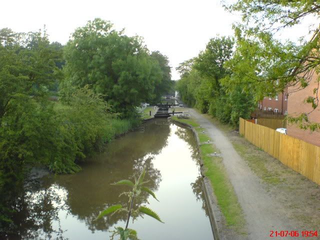
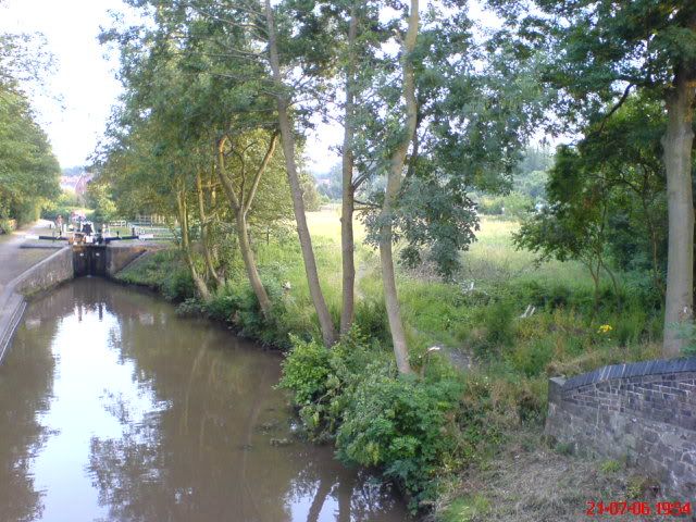
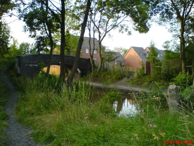
Bridge42 is between the top lock cottage and the kings head watling street bridge,locks 3 and 4, it links the Bottom of the old Grain Silo site, which was Merevale Road, with the allotments at the bottom of Bracebridge Road/Merevale View. It's been over grown for years, but is now accessible from the new housing estate on the former Grain Silo site. Access was maintained in the plans so the garden will be accessible from there, Also I'd assume from the allotments site, and the canal.
The bridge originally linked the Merevale estate with Atherstone, but when the the Railway arrived,the road was severed and it became the bridge to knowhere.
Is 42 the answer to Atherstone life, the universe and everything? You decide.
map - click here The park will be on the south, non towpath side of the canal between the PH marker and the blue square 'i' symbol opposite the solid red circle for the train station. The bridge is also marked.


